Yucatán in México is an extraordinary tourist destination. I am often asked if I recommend it and what to visit. So I decided to share a map with the main tourist sites in the area and a route that I followed in 2017.
What to see in Yucatan
I would divide it in 4 main groups:
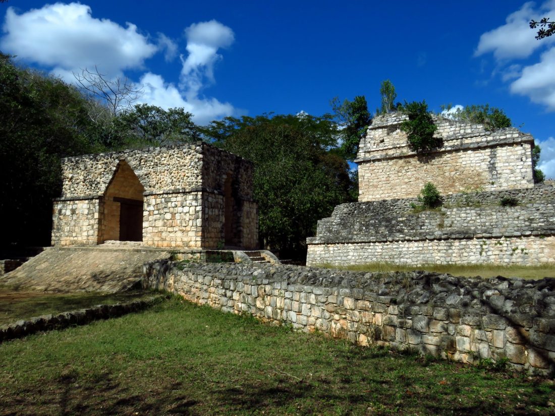
- Archeological sites
- Colonial cities and towns
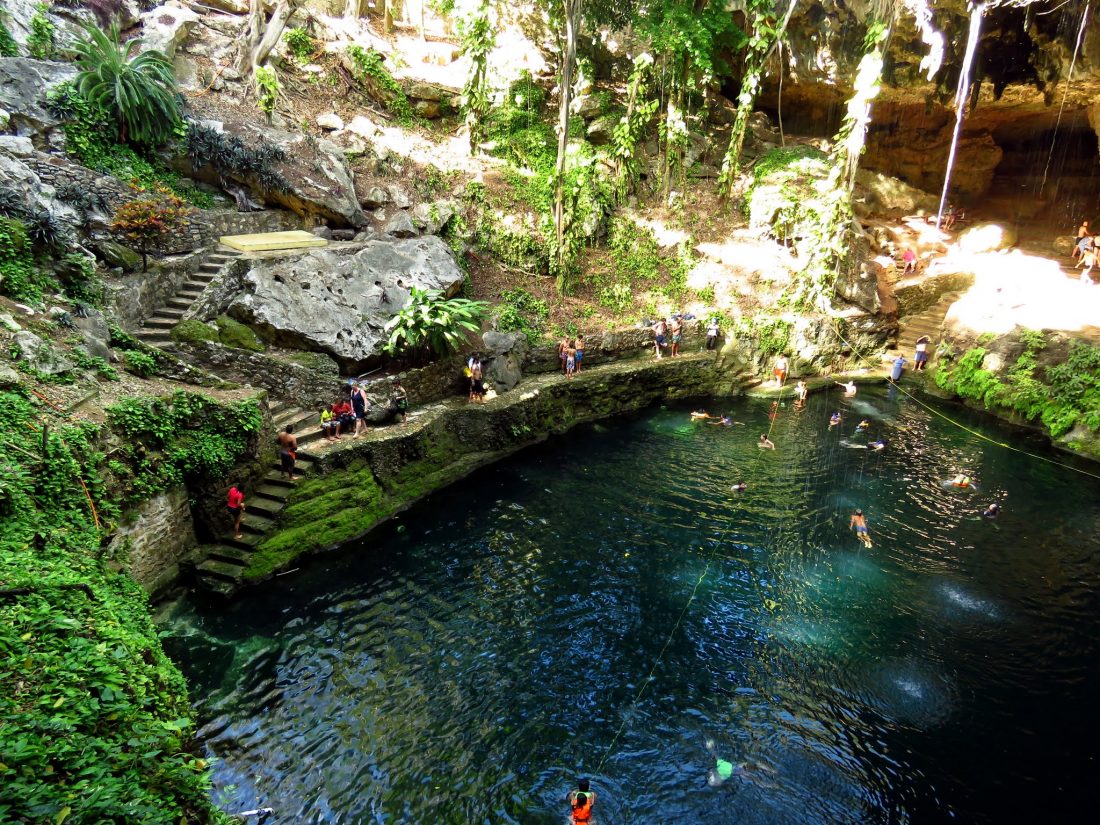
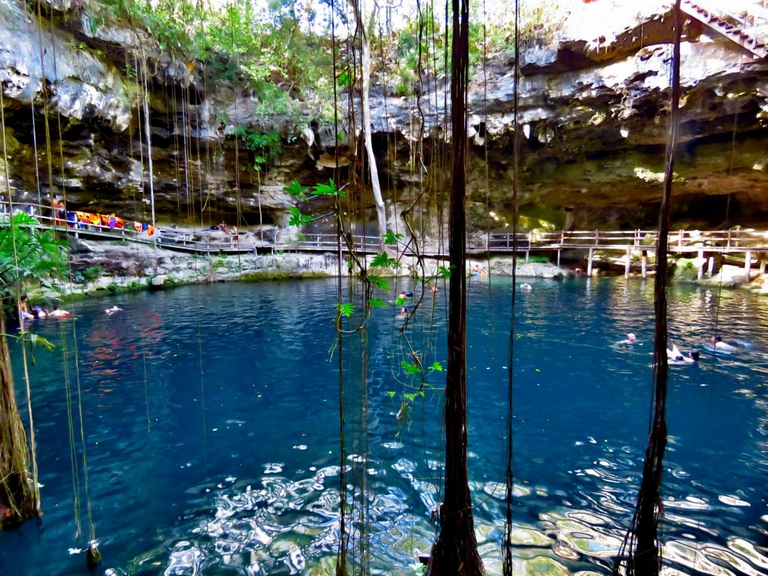
- Cenotes (underground lakes/ ponds)
- Natural Reserves
The map shows you the main places you can visit and is grouped by Cenotes, Natural reserves and archeological sites. as for colonial cities, I recommend Valladolid and Merida.
What route to follow?
You can fly to Merida or Cancun. I choose Merida as I was flying from Mexico City and was cheaper and better for the route that I wanted to follow. The best is to rent a car and explore the area at your own leaser.
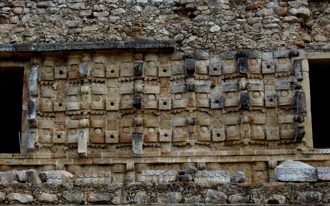
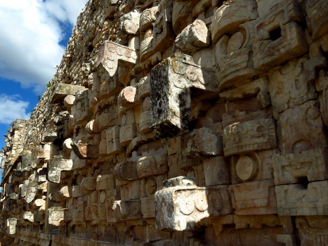
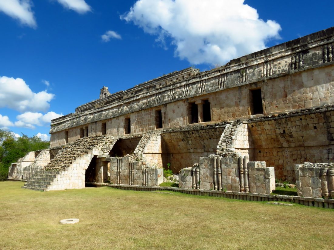
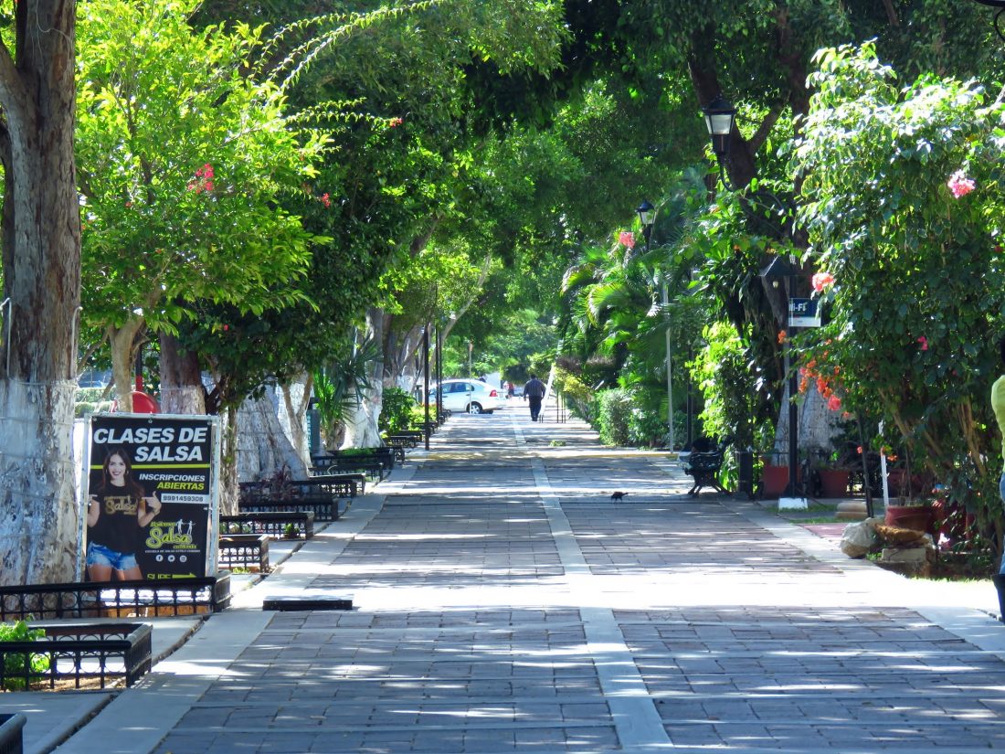
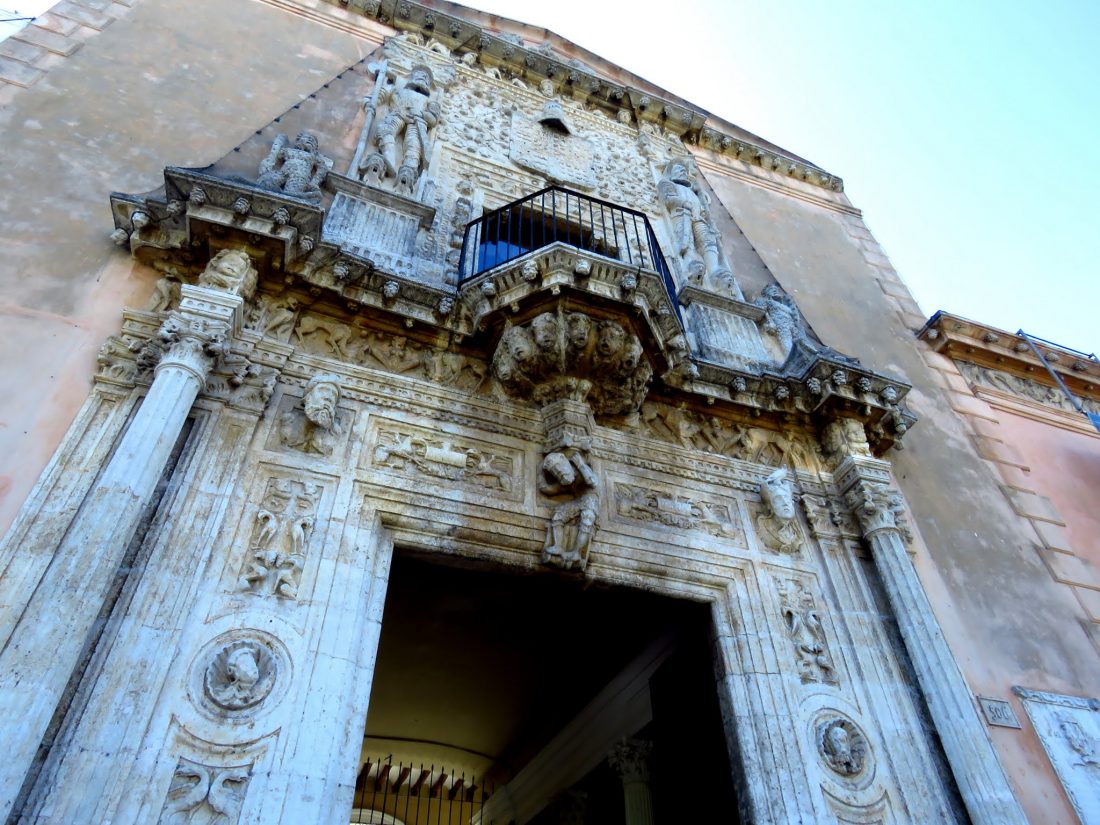
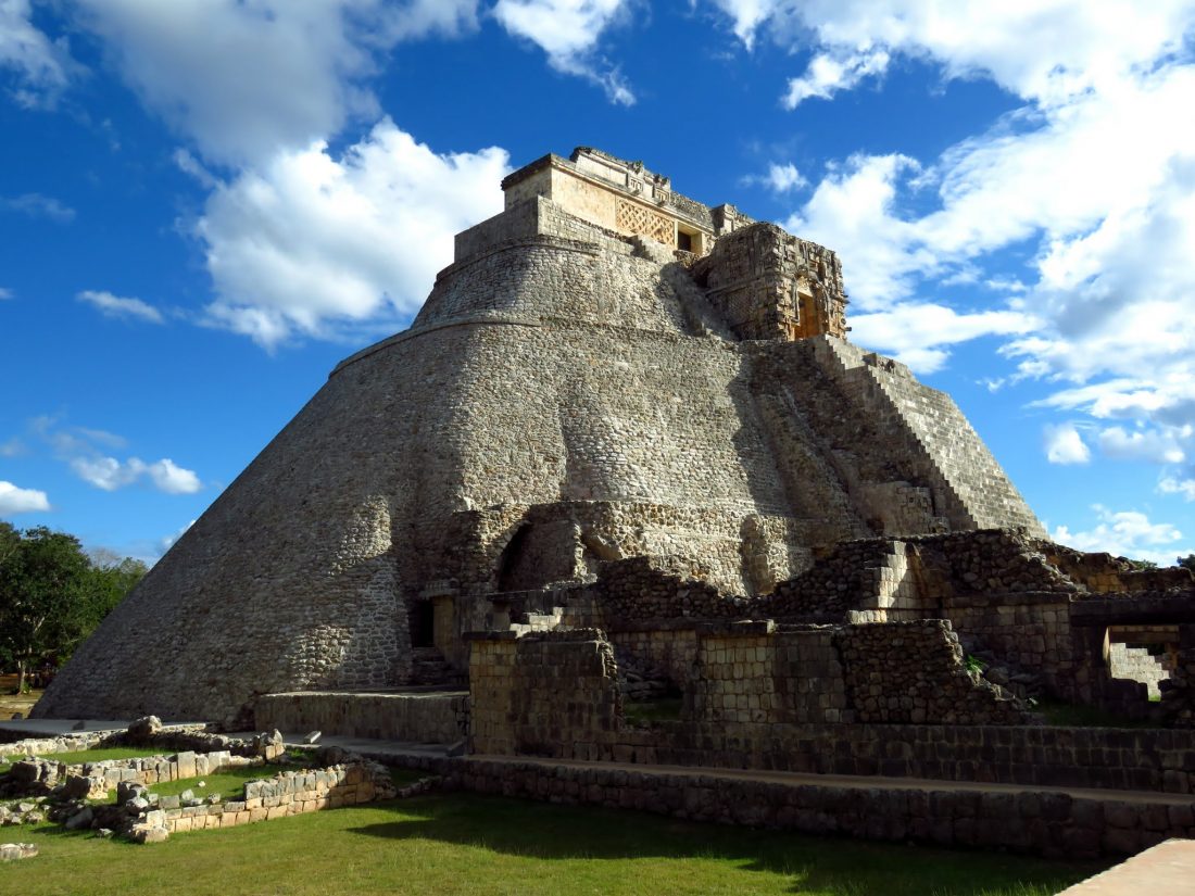
We landed in Merida and went straight to Uxmal, where we stayed for a night and visited Uxmal and Kabah. Then went back to Merida for 2 days. In Merida we visited a few museums and colonial houses, such as Montejo’s house.
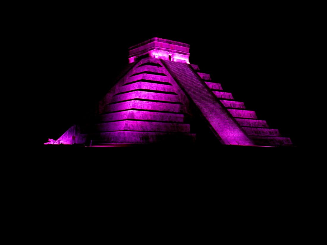
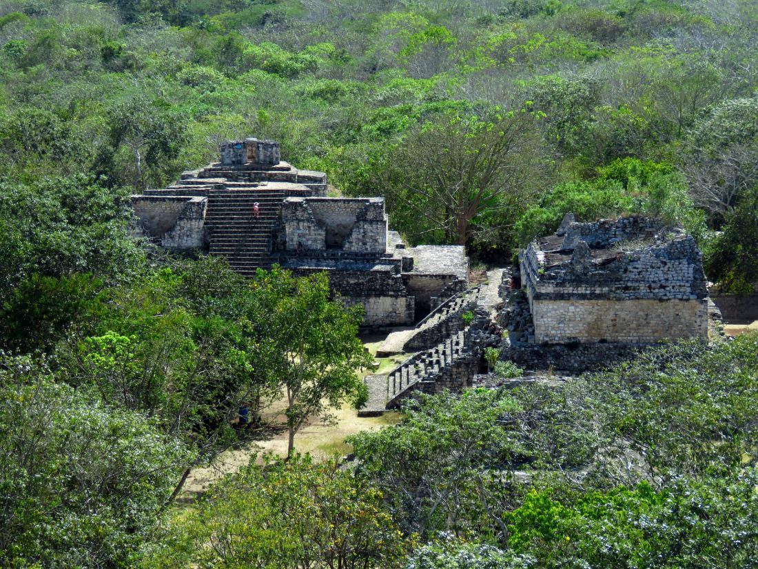
From Merdia we traveled to Valladolid, from there we explored Chichen Itza, The cenotes in Valladolid and Ek Balam. Fro my overseas friends, Ek Balam was one of their favorite places.
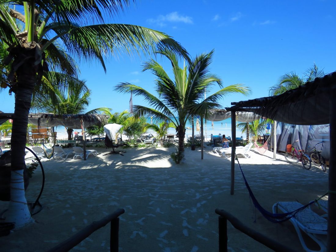
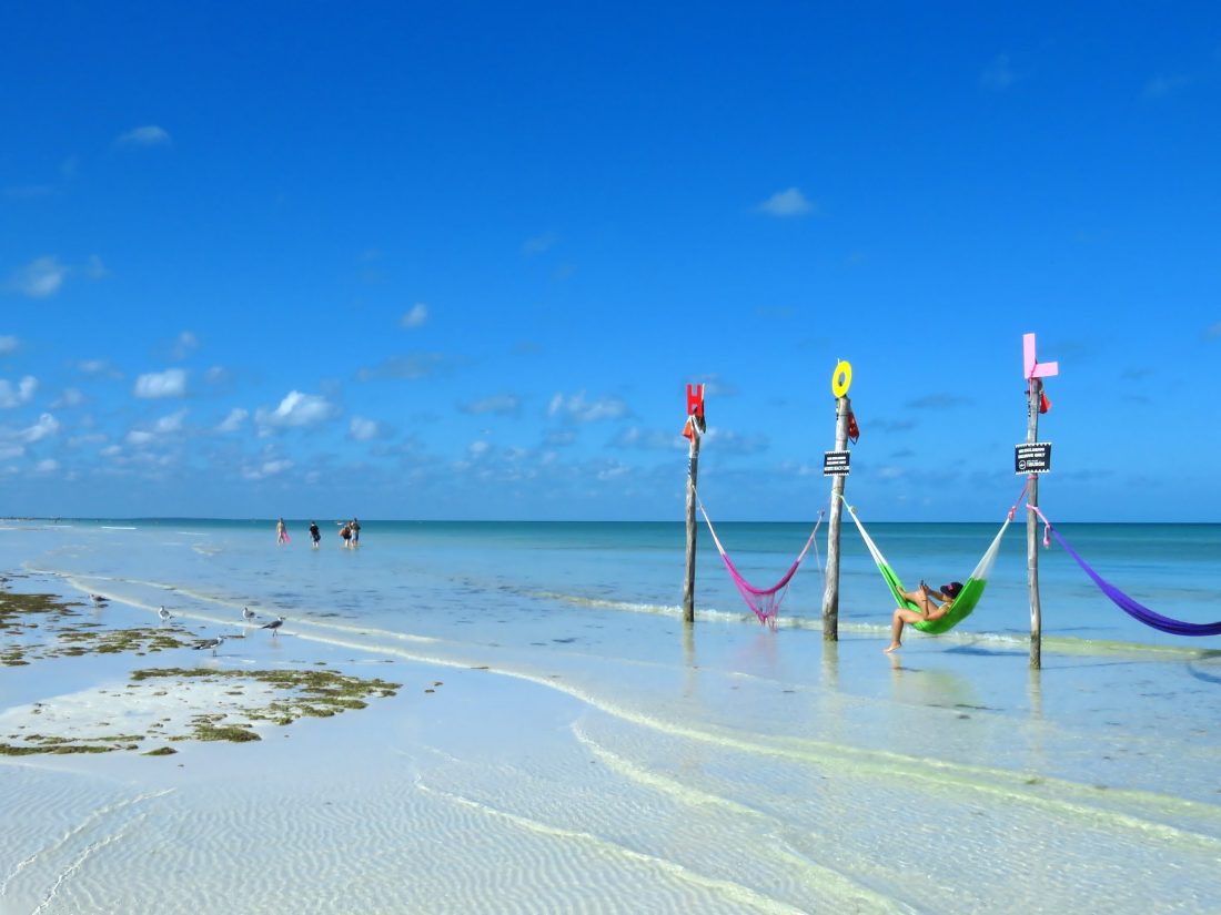
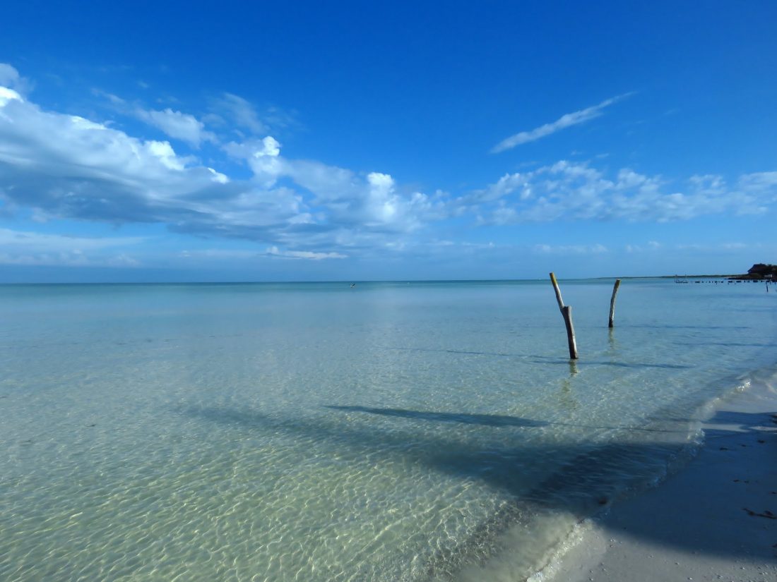
Then we drove to Chiquilla, where we took a Ferry to Holbox, The island is a paradise, loved it. Relaxed, small, good food and plenty of activities.
Finally we crossed back to mainland and I drove back to Merida and some of my friends went to Playa del Carmen.
Yucatan Map with main attractions
Here is a map showing some of the best tourist attraction in Yucatan Peninsula
Pictures from my trip
- Chichen Itza
- Holbox
- Holbox
- Holbox
- Kabah
- Kabah
- Kabah
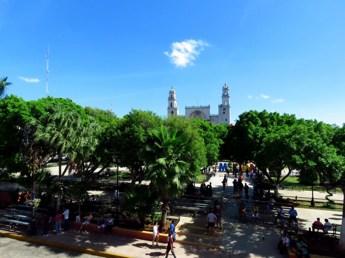
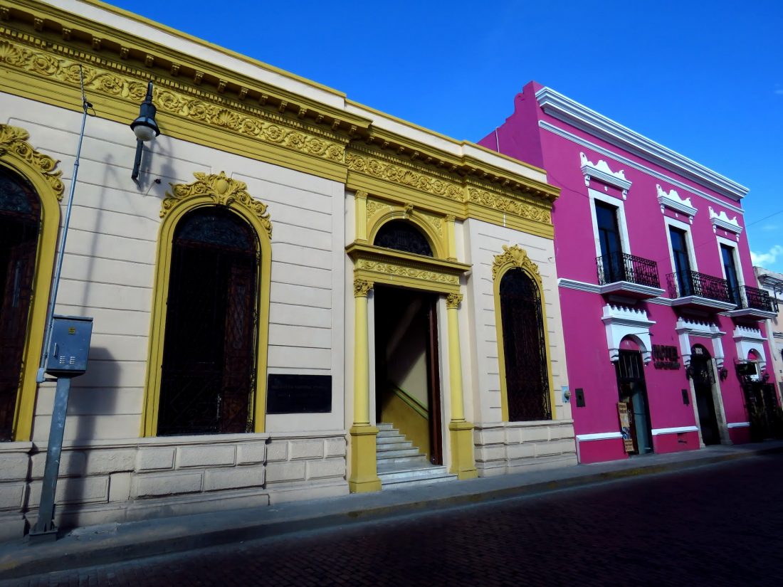
- Merida
- Merida
- Merida
- Merida
- Uxmal
- Valladolid
- Valladolid
- Valladolid
- X Canche
- Ek Balam
- Ek Balam

Pingback: Mexico Itineraries – XCP